Khau Coc Cha Pass – 15 Mountain Pass Levels Stacked Among the Clouds of Bao Lac
On National Highway 4A, amid the mountains and forests of western Cao Bang, there’s a mountain pass that makes everyone stop and look up. It’s only about 2.5 km long, yet the road climbs in 15 tiers stacked along a sheer mountainside, like steps leading straight to the sky. This is Khau Coc Cha, a pass travelers have nicknamed “Vietnam’s most terrifying mountain pass” and one of Cao Bang’s most viral photo spots.
Why 15 levels?
The pass is often called the “14-level pass” because it has 14 hairpin bends. Those 14 bends divide the road into 15 successive climbing tiers. From the viewpoint, you can count each tier as the road winds from the foot of the mountain to the summit—a sight few other passes in Vietnam can match.
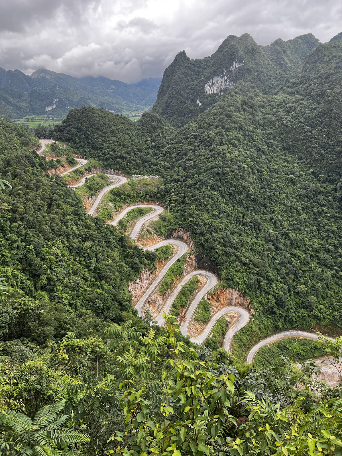
The reason the road has to “fold” back on itself so many times is simple: the slope of Coc Cha Mountain is too steep for a straight road. The route had to be built in tiers to reduce the gradient and help vehicles climb and descend safely. This engineering solution has also created a work of art amid the mountains and forests.
Where is the pass?
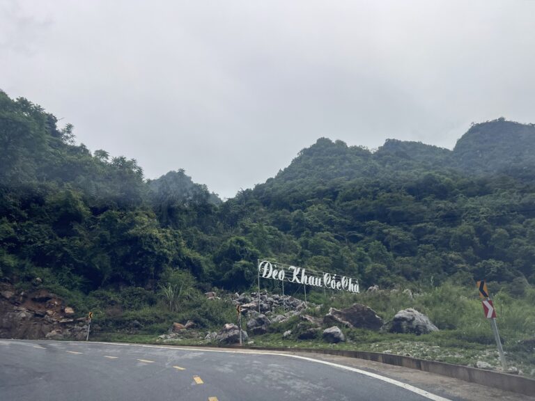
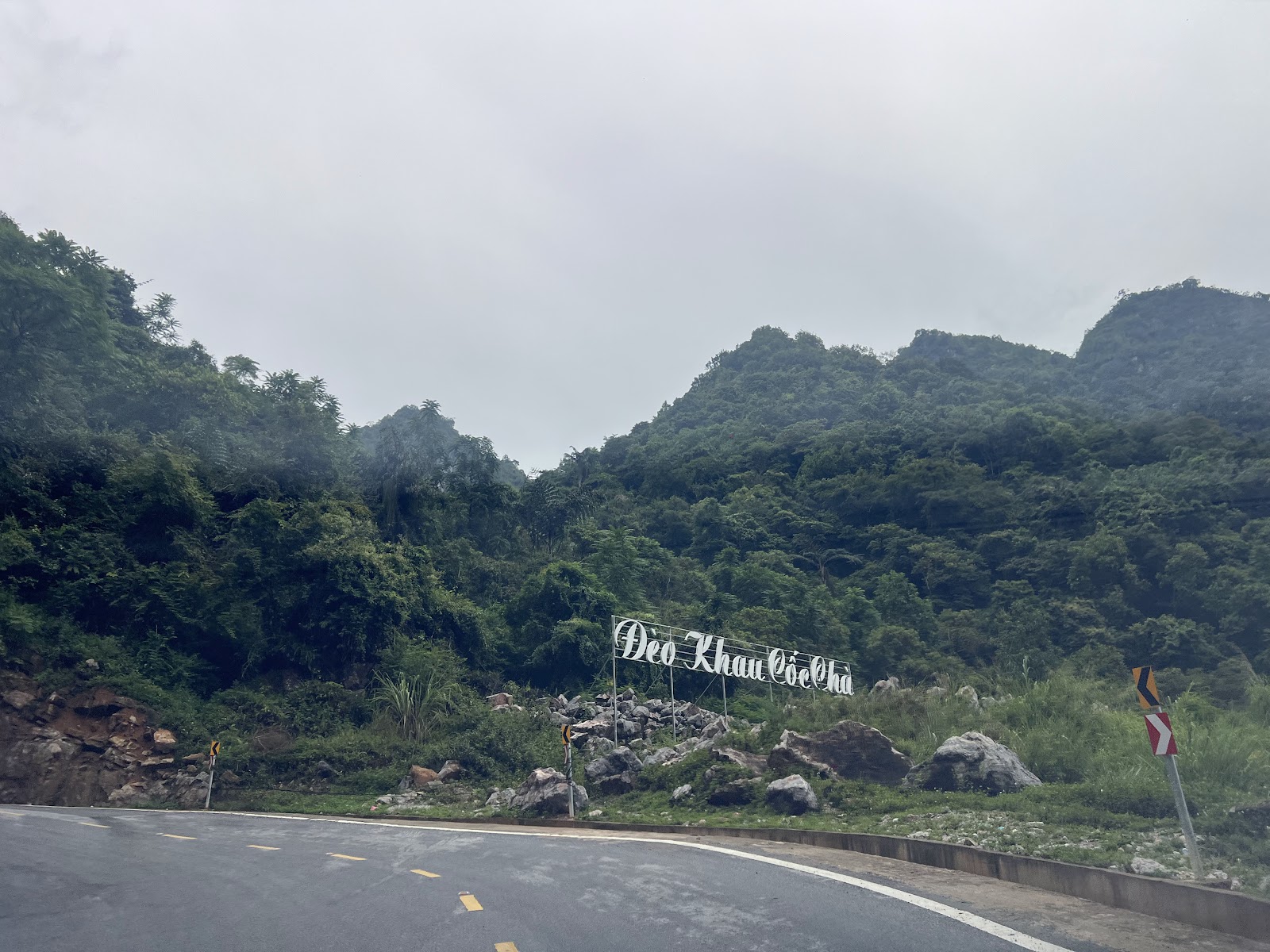
Khau Coc Cha Pass lies along National Highway 4A in Xuan Truong Commune (formerly part of Bao Lac District), linking Xuan Truong Valley with Bao Lac town center. In July 2025, the new Xuan Truong Commune was formed from Hong An and Xuan Truong communes.
From Cao Bang City, it’s nearly 90 km to Xuan Truong. If you’re traveling from Meo Vac to Bao Lac, the pass is right along the way.
Many people call Khau Coc Cha Pass Me Pia Pass. However, some say Me Pia is the section below it, which you reach after continuing from Khau Coc Cha toward Bao Lac. Khau Coc Cha is the famous multi-tiered pass.
From a 40 cm footpath to 15 tiers of paved road
Residents of Xuan Truong say the pass dates back to the French colonial period, when it was only a footpath about 40 cm wide. To reach Bao Lac, people had to walk or travel on horseback, a journey that took a long time.
From 2009 to 2011, Cao Bang Province funded the widening and paving of the road to 5 m. The bends were cut deep into the rock face to make room for the road. Each tier of the pass today bears the mark of those who carved a route through the mountains, connecting a remote region with the outside world.
Photo stops and photography: a detailed guide
Panoramic viewpoint on Pac Thoc Peak
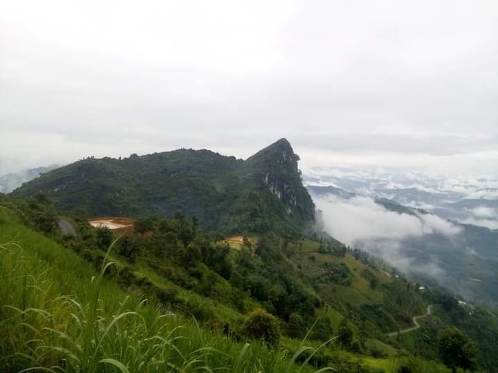
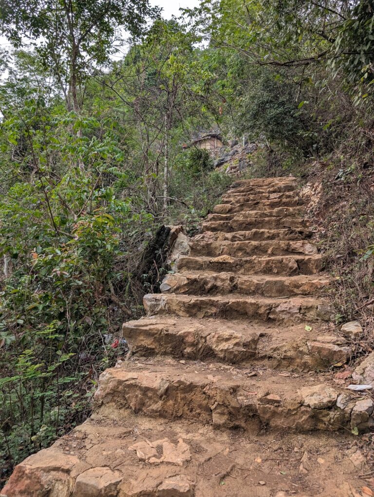
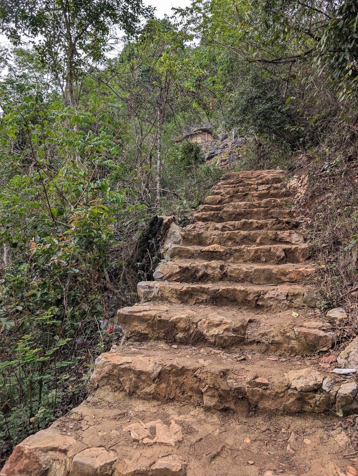
This is the best spot to photograph all 15 tiers of the pass. Follow the mountainside trail for about 2 km to the summit of Pac Thoc, where you’ll find a scenic viewpoint and photo spot. From here, you can take in the rugged, remote beauty of Khau Coc Cha Pass and part of Dong Mu Valley.
The walk is manageable, though some sections are steep and uneven. In 2024, Bao Lac District continued investing in improvements to this 2 km trail to make it easier for visitors to use.
The viewpoint is fairly spacious and flat. From here, you can clearly hear the horns and engines of vehicles navigating the bends below. Look farther out to see Xuan Truong Valley.
The rocky outcrop: a legendary photo spot
At the summit of Pac Thoc, a rocky outcrop juts out over the slope, and visitors often climb onto it for photos. It’s the most famous photo spot, with a tiny figure set against the 15 towering tiers of the pass.
⚠️ Please note: The outcrop is right beside a cliff. Only go out when the ground is dry and you’re with someone else. Don’t fool around or pose in risky ways. A great photo isn’t worth compromising your safety.
View from the foot of the pass
If you don’t have time to walk to the summit, you can stop near the end of the 14th bend on the Bao Lac side and look back up the pass. You won’t see all 15 tiers from this angle, but it gives you a sense of just how steep the road is. Pull fully off the road into a wide, safe spot.
Drone views: the footage that made the pass go viral
Khau Coc Cha has become one of the defining images of tourism in Cao Bang, thanks to striking aerial footage. From above, the pass winds like a ribbon draped across the mountainside.
If you bring a drone, take off from the viewpoint or another safe stopping place, and never operate it while driving. Since this area is near the border, check the flight regulations carefully before your trip.
Tips for great photos
- Best time: Early morning or late afternoon, when the angled sunlight brings out each tier of the pass.
- Capture the moment: Wait for a vehicle to round a bend. A small vehicle against the 15 huge tiers of road adds depth to your photo.
- Count the tiers: Use a wide-angle shot to capture all 15 tiers—the signature view of Khau Coc Cha.
- What to wear: Red, yellow, or white stands out against the green mountain scenery.
Places to visit around Xuan Truong
Don’t rush off after photographing the pass. There are plenty of other places worth visiting around Xuan Truong:
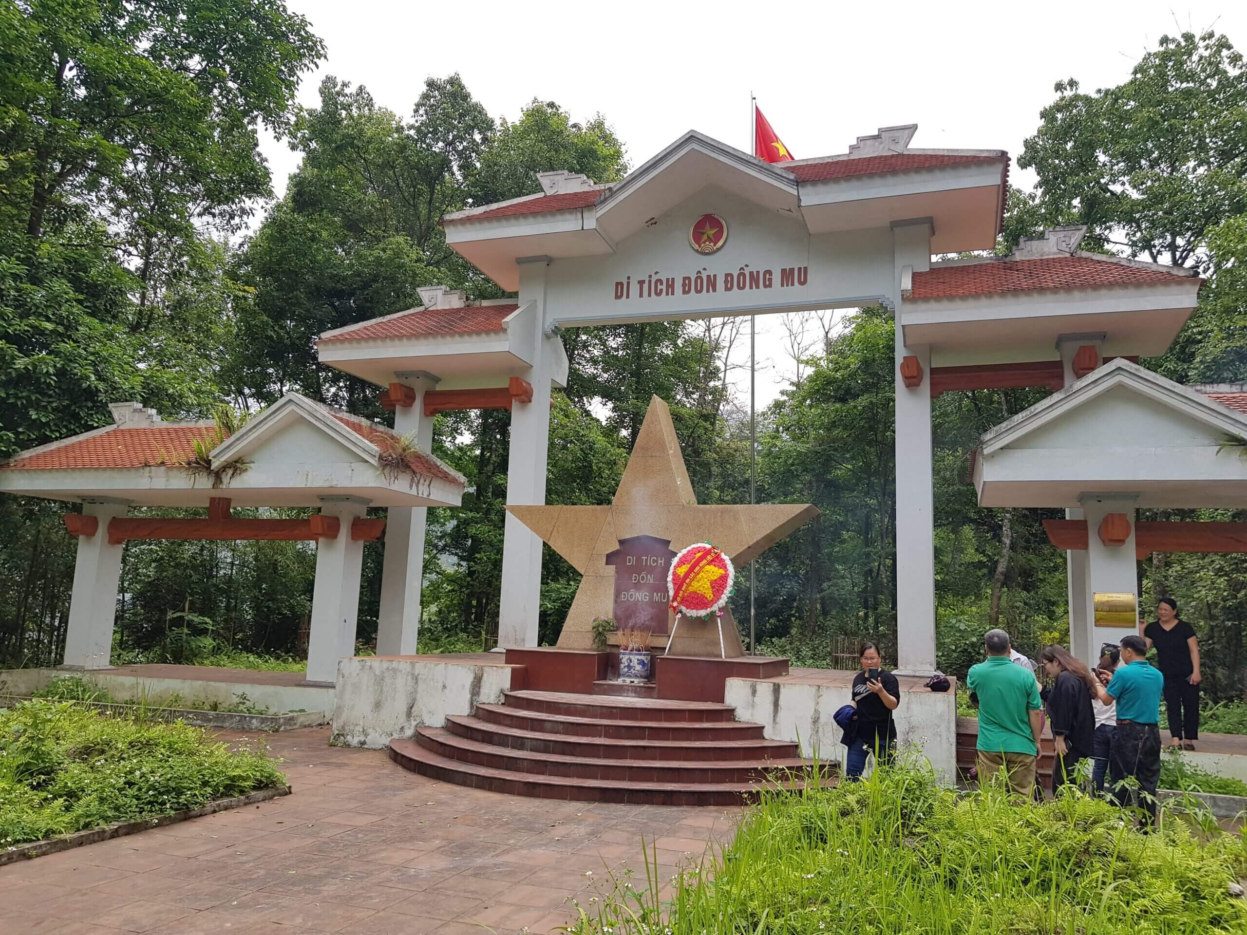
- Dong Mu Fort National Historic Site: the site of the third battle fought by the Vietnam Propaganda Liberation Army. Soldier Xuan Truong was killed here on the night of February 4, 1945, and the commune was named after him. From the pass viewpoint, you can see Dong Mu Valley.
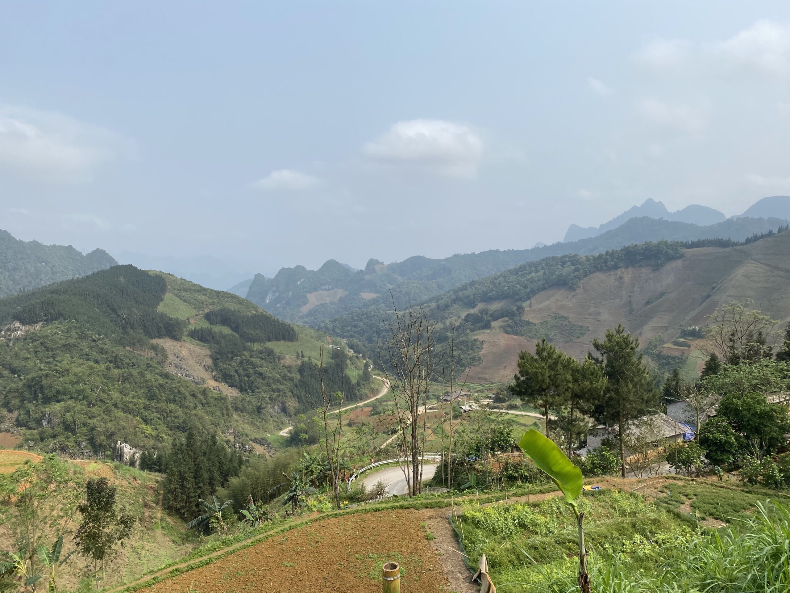
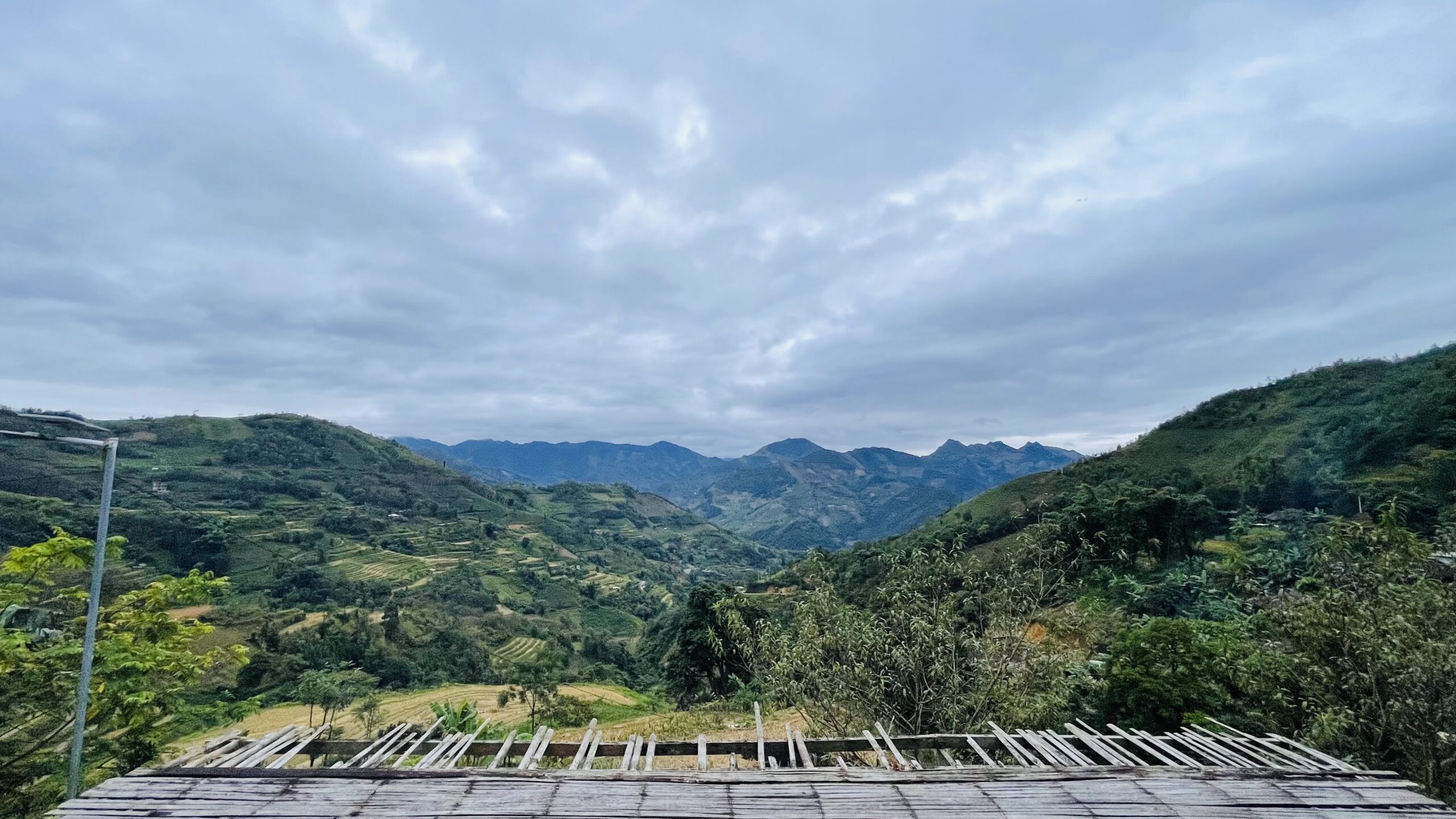
- Xuan Truong Valley Viewpoint: sweeping views of fields and villages nestled among limestone mountains. The valley is especially beautiful in the early morning mist.
- Na Tenh Pass: about 15 km from Khau Coc Cha, with 20 gentle bends that are easier to navigate. It is at its best in September and October.
- Xuan Truong Pear Orchards: white blossoms in spring and golden fruit in summer. Nearby, a lone pear tree is a popular photo spot.
- The S-shaped Road in Hong An: a winding road with picture-perfect views.
When Is the Best Time to Visit?
The drier summer months and the mild, sunny weather in August and September are ideal for driving the pass and hiking to the viewpoint. Avoid the rainy season, when landslides are more likely and roads can be slippery.
Driving the Pass Safely
- The pass is steep, with sharp bends. Drive yourself only if you have experience on mountain roads.
- Check your brakes, tires, lights and horn before heading downhill.
- Use a low gear on descents. Never coast or ride the brakes continuously.
- Sound your horn before each bend; trucks and buses also use the pass.
- Never stop in the middle of a bend to take photos.
- Do not litter on the way to the viewpoint, and take care to preserve the trail opened by local residents.
Khau Coc Cha is not a long pass, nor is it counted among Vietnam’s “Four Great Mountain Passes.” Yet its 15 tiers of road carved into the mountainside tell a story few places can match: from a 40-centimeter-wide trail used by packhorse riders, to a road connecting an entire region, and finally to a viewpoint opened by local residents for visitors. Stand atop Pac Thoc, count the layers of road below, and you’ll understand why people call this place the “stairway to heaven.”